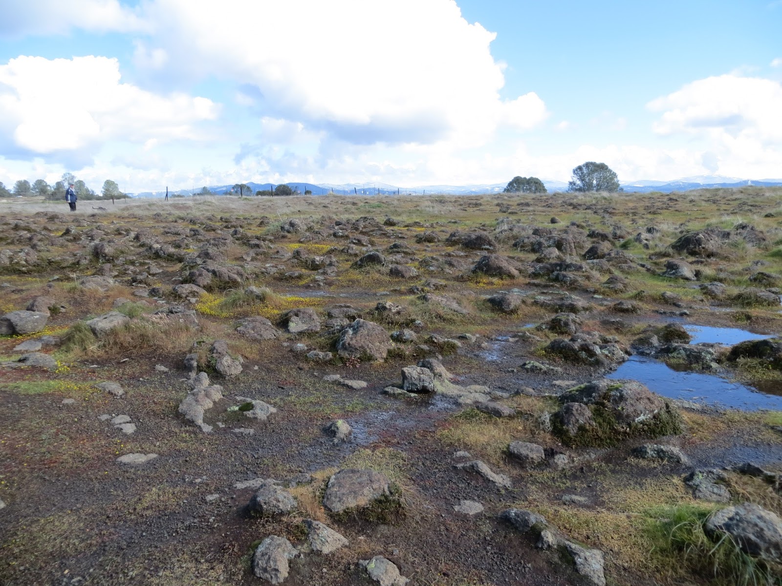
Ranger Hilary Maxworthy of the Bureau of Reclamation promised to take us on a wildflower hike, and boy, she delivered! As about 30 Trail Heads gathered in an April shower to walk the usually restricted (Homeland Security) Melones Railroad Grade in the Peoria area near Jamestown, we were immediately treated to tiny Butter and Eggs carpeting the parking area of the Equestrian Staging Area. While she was awaiting us, Ranger Hilary said that she watched an Osprey return with a fish to a nest in a nearby power pole. A promising start to our hike!

 The overnight “atmospheric river” and continuing light drizzle rendered the trail – normally dirt – into sloppy, slippery mud. We had to watch our footing, and many of us used hiking poles for stability. This initial section of the route took us through a grassy, green oak woodland with rolling hills and inspiring views ending in distant mist. And Brewers Lupine, lots and lots of lupine. After about 3/4-mile, we were rain-free and soon on the well-drained railroad grade which we followed for most of our 4.25 mile hike. The railroad grade was hewn out of the north-facing wall of the Stanislaus River canyon to get materials out to the construction site of the original Melones Dam (now beneath the waters of New Melones Lake). This provides a protected environment for diminutive, delicate wildflowers. Some of the names I remember are Fairy Lantern, Chinese House, Sticky Monkeyflower, Seep-spring
The Peoria area of New Melones Lake is northwest of Jamestown. Take O’Byrnes Ferry Rd. toward Copperopolis. Turn right at New Peoria Flat Rd. (the sign for “Baseline Conservation Camp” is prominent). Take a hard right at the Baseline Conservation Camp onto Old Melones Dam Rd. The first trailhead is on the left, the Equestrian Staging Area with a port-a-potty and ample parking. The second trailhead is further up Old Melones Dam Rd. at the closed gate. There is limited parking here.
 We were originally going to use this second trailhead for our Peoria area outing which was to be a 4-mile loop up the strenuous Peoria Mountain trail with a moderate traverse to the ridge then down via the Green Springs trail. Because of its low elevation, the Peoria area is accessible year-round. It's especially lovely in the spring with poppies, vetch, green grass, and oaks leafing-out. However, it can be very hot in late spring and summer -- bring WATER! It's also popular with deer hunters during the season -- wear ORANGE! If you go on our own, be aware that this area isn't well-signed; you'll have to use your "trail sense" to find your way. However, the trails seem to connect and it’s fairly easy to get oriented due to the prominent landmarks of the lake and/or the mountain.
Here's a map of the trails in the Peoria area:
https://www.usbr.gov/mp/ccao/newmelones/docs/maps/map-peoria-wildlife-area.pdf
Here's a map of all the trails at New Melones Lake:
https://www.usbr.gov/mp/ccao/newmelones/docs/maps/map-peoria-wildlife-area.pdf
Here's a map of all the trails at New Melones Lake:
https://www.usbr.gov/mp/ccao/newmelones/docs/maps/map-new-melones-lake-trail.pdf
Listen to the May TCT radio program for Trail Head reviews of the New Melones RR Grade Wildflower Hike.
Listen to the May TCT radio program for Trail Head reviews of the New Melones RR Grade Wildflower Hike.