 |
| Meadows and lakes abound on this trail |
Oh, my. What a fire
season this summer. The Carr Fire and
the Mendocino Complex in Northern California; the Ferguson Fire persisting in
Yosemite, all deadly and awful. Now the
Donnell Fire up on Highway 108, horribly destructive but not deadly – so far. Heartbreak over the loss at Dardanelles
Resort.Hope, love, and admiration to the firefighters struggling to save
themselves and beloved Baker Station, Kennedy Meadows, and other structures in
the area.
Deterred by the Ferguson Fire, which closed Yosemite including Hetch Hetchy and nixed our planned hike to Wapama Falls, we chose Cooper Meadow as Plan B. The previous two weeks had been a bleak approximation of nuclear winter, and hike morning was dingy with smoke again. A new fire, named the Donnell Fire, had started a day or two before. As it was small (about 500 acres) and well east of our destination, we didn’t feel silly hoping for clear skies, or thinner smoke at least, at the 8,000’ trailhead.
Deterred by the Ferguson Fire, which closed Yosemite including Hetch Hetchy and nixed our planned hike to Wapama Falls, we chose Cooper Meadow as Plan B. The previous two weeks had been a bleak approximation of nuclear winter, and hike morning was dingy with smoke again. A new fire, named the Donnell Fire, had started a day or two before. As it was small (about 500 acres) and well east of our destination, we didn’t feel silly hoping for clear skies, or thinner smoke at least, at the 8,000’ trailhead.
 |
When you see this pond, you're
almost there -- just downhill on
loose dirt then a short walk
through the forest to the meadow
|
 |
Most scenic view you ever
had from an outhouse!
|
And were we rewarded!
Blue skies! Deep green trees! Bright
green, grassy meadows! Wildflowers of
all colors! Red volcanic outcroppings to
the north and grey granite mountains to the south! We had a short, steep-ish uphill section to a
long hilly section shaded by tall pines opening up to expansive views as we
passed several meadows, ponds, and traversed a hillside. There was a final downhill scramble before we
walked out to Cooper Meadow and its historic ranch buildings. W.F. Cooper began grazing cattle here in
1861. In 1912, the Cooper Meadow grazing
allotment ceded to the Sanguinettis.
They still use it, and there was evidence of habitation as we approached
– dogs, a tethered horse, an
 |
| Castle Peak and the Three Chimneys |
exterior bathroom sink setup, a new padlock on the
“house.” The ranch buildings date from
the 1860s and were entered into the National Register of Historic Places in
2009. The real “eye candy” is the
close-up view of our iconic Castle Rock and the Three Chimneys formation. We picnicked on gigantic rocks in the meadow
and explored streams that form the headwaters of the South Fork Stanislaus
River. Then it was time to return to the
trailhead heading back out the way we came in – again with a tough uphill
section, but this time after a good rest with good friends in a gorgeous setting.
Cooper Meadows is about a 7-mile round trip hike accessed from the Coyote Meadow Trailhead, off of Herring Creek Rd., east of Strawberry. To get to the trailhead, take Highway 108 east past Strawberry; turn RIGHT on Herring Creek Rd and SET YOUR ODOMETER. Herring Creek Rd. becomes 4N12 at 4.5 miles and becomes dirt at 5.5 miles then hits a "T" at 6.8 miles. At the T turn RIGHT and go about .1 mile to a "Y" and stay RIGHT on 4N12. At about 9.5 miles veer LEFT to stay on 4N12 (DO NOT go right onto 5N31). At 11.3 miles turn RIGHT on 5N67 for about .6 mile. Turn LEFT and park when you see the "Coyote Meadow Horse Camp" sign (12.3 miles from Highway 108). Google Maps can take you there; get directions to Coyote Meadows, CA 95364. Use a paper map and these written directions as a back-up! The road is rough with some deep holes; be sure to drive something with decent clearance such as a Subaru Outback or an SUV or truck (NOT a Honda Civic!).
Here are a couple of links to interesting Tuolumne County Historical Society website pages. One has a neat old photo of horses and riders at Cooper Meadow http://tchistory.pastperfectonline.com/photo/793D8C3A-D697-4AB9-B6B9-170441802630
and our local heritage sites on the National Register of Historical Places http://www.tchistory.org/TCHISTORY/Register.htm
 |
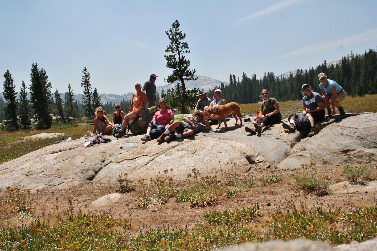
| Happy Trail Heads at hike's end |
No comments:
Post a Comment